Picture a dark tunnel of solidified lava somewhere under northern Tenerife, a few researchers with instruments, and a question that has nothing to do with Earth. That was Cueva del Viento in late September.
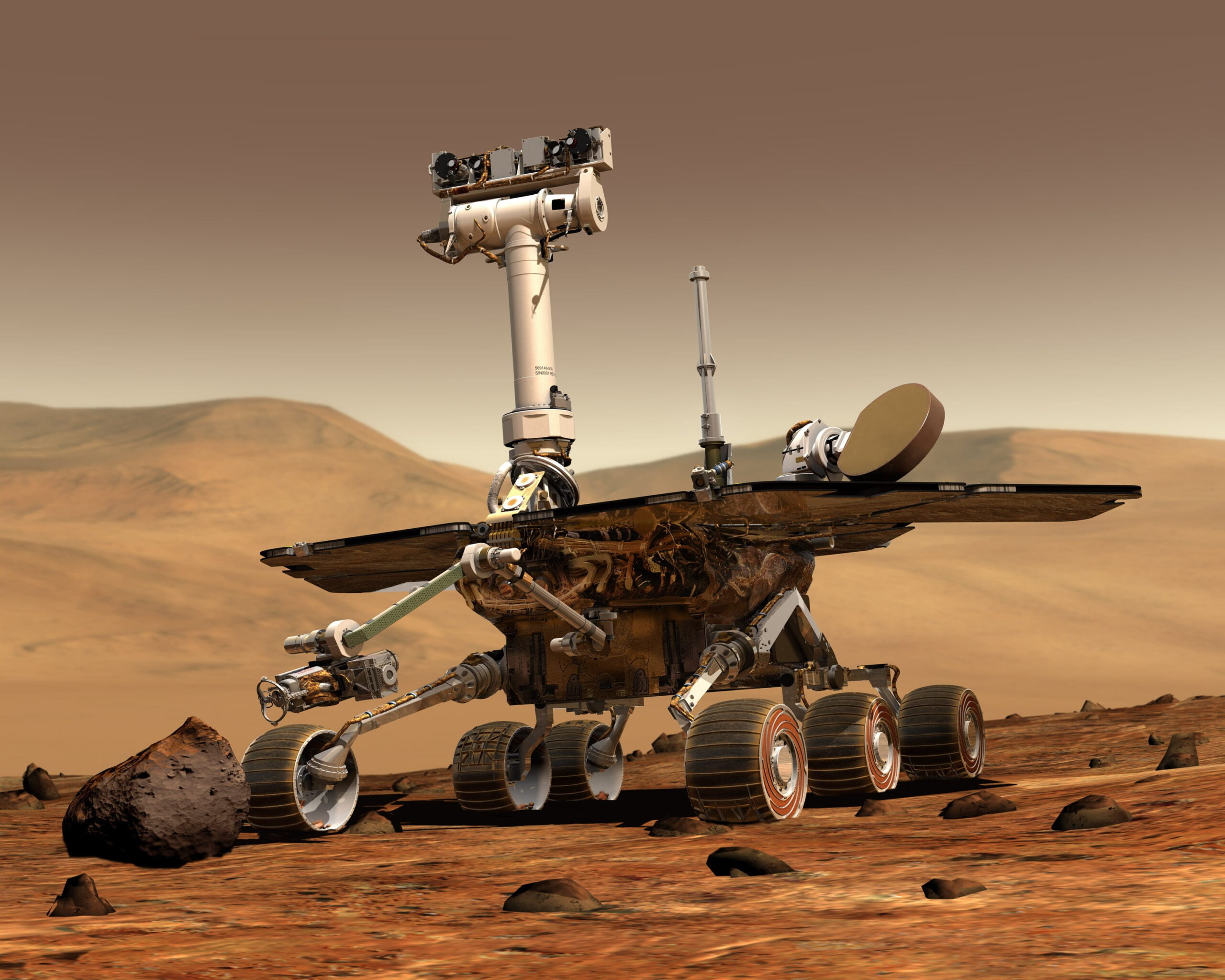
Between 14 and 25 September, the Canary Islands Volcanological Institute (INVOLCAN) helped run a field campaign at three volcanic sites on the island: Cueva del Viento, Montaña Samara and Montaña Blanca. The team used non-invasive electromagnetic methods to study what lies beneath the surface. The work is part of MARS-LAVA, short for Martian Analysis of Resources and Structures: Lava tubes, neAr-surface ice and aquifers Visibility and Assessment. The project is developing and validating a set of sensors and geophysical methods to be carried by rovers and drones exploring Mars.
The project is largely Italian. It is funded by PRORIS, Italy’s basic space research programme, which is backed by the research ministry (MUR), the CNR and the national astrophysics institute INAF. According to the project page of INAF’s Institute of Radio Astronomy in Bologna, it is led by CNR-IREA, with Pietro Tizzani as principal investigator, working with CNR-IFAC and INAF-IRA. It started on 11 May 2026 and runs for two years. In Tenerife, staff from INVOLCAN and the island council’s technology institute ITER worked alongside researchers from IREA-CNR, IMIOT-CNR, INGV and the University of Bari.
Why lava tubes? On Mars they are among the most serious candidates for sheltering future human bases, because they offer protection from radiation and extreme temperature swings. MARS-LAVA wants to learn how to detect them from outside. It is also looking for ice close to the surface, rock glaciers, permafrost and possible water reserves, all of which matter for habitability and for resources astronauts could use.
To do that, the project combines radar, magnetometry, gravimetry, electromagnetic methods, LiDAR and thermal infrared, then brings the results together through numerical modelling and data fusion. All of this has to be tested somewhere on Earth that resembles Mars. Tenerife’s volcanic terrain has comparable structures, is easy to reach and has been studied in detail for decades.
ITER says the end goal is to design an optimised, high-performance geophysical payload for future planetary missions. In plain terms, a set of instruments small enough to fit on a rover or drone and accurate enough to tell an empty cavity from one filled with ice.
This is part of a wider push. ITER, the island council’s company based in Granadilla, will host the third Canary Islands Aerospace Congress (CIAC 2026) on 3 and 4 December, organised by the Canary Islands Aerospace Cluster. Tenerife Space Horizon and a regional aerospace strategy are due to be presented there, alongside sessions on drones, Earth observation and satellite data processing.
Results from the September campaign have not been published, and with the project only five months old it would be unrealistic to expect them yet. Still, it is a striking idea: the volcanoes Tenerife monitors to keep itself safe are also helping scientists prepare to explore another planet.